


The farmer-friendly skies
Commercial airline pilot-turned-entrepreneur Scott Deavers helps farmers with data-driven decision-making
January 31, 2025
Cookie Acknowledgement
This website uses cookies to collect information to improve your browsing experience. Please review our Privacy Statement for more information.
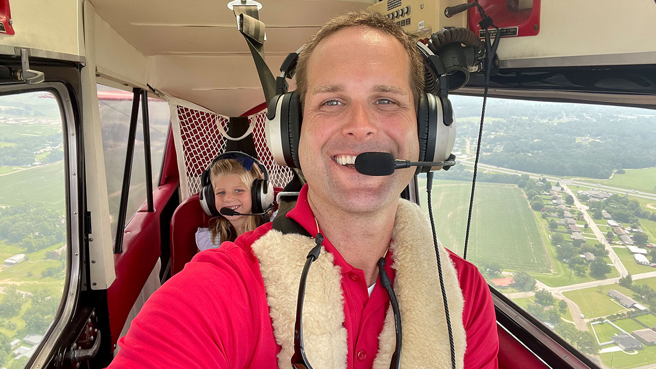
Like many commercial airline pilots during the COVID-19 pandemic, Auburn University School of Aviation alumnus Scott Deavers found himself furloughed and fidgety when flights were grounded and service reduced. Not one to sit still for long, Deavers became a flight instructor near his hometown of Dothan, Alabama, while on furlough. One of his students was a farmer.
“We flew over his fields and began talking about GPS technology. In aviation, we are fluent in GPS language: its accuracy, how to navigate by it and what you can do with it. I learned that for farmers, GPS technology is a daily operational necessity,” said Deavers, a former American Airlines pilot.
Deavers was fascinated to hear how farmers use GPS technology to lay rows for crops, map fields and pinpoint with precise accuracy how a piece of equipment navigates around the rows.
“My flight student and I agreed that I’d teach him how to fly if he’d teach me how to farm, and we looked at aviation technology and agriculture together,” Deavers said.
The collaboration inspired Deavers’ start-up company, SouthGen Solutions, whose mission is to save growers time, reduce their costs and increase productivity by using unmanned aircraft systems (UAS) with traditional crop monitoring to analyze, strategize and correct issues in real time.
In the first year of development for SouthGen, Deavers flew drones over fields, taking pictures and testing software to analyze the images and look for trends.
“We learned by trial and error that we need to try and capture pinnacle movements in the crop’s lifecycle – big rains, or lack of rain, after fertilizers are applied — and see how the fields are trending through those particular uptakes,” Deavers said. “That’s where we started seeing things connect. We were able to fly after weeks without rain and see where the fields were producing less.
“Because every acre counts, we would identify those bad spots and figure out how to bring them back into total productivity.”


In his second year, Deavers expanded his efforts by working with local farmers through the Alabama Cooperative Extension System to learn how GPS, drone and sensor technologies could be used to improve farm productivity and efficiency.
“The work with Extension has been paramount. They've given us honest feedback and helped make a ton of connections,” Deavers said. “I depend on their vote of approval for what we’re doing.
“They are unbiased and will tell us if something is beneficial or needs a change to be practical in its implementation. They've been very good step-by-step, and we work alongside them to test our work.”
The data Deavers and SouthGen collect allows farmers to make informed decisions about their investments in the land.
Drone surveillance of farms can help spot problems in real time. Researchers out of Auburn and other land-grant universities are working with the National Institute of Food and Agriculture to test and implement the technology to address issues such as spotting pests and diseases in crops and then applying precise treatment to limit chemical treatments when possible, developing high-resolution data for flood risk models and more.
“The needle is always moving,” Deavers said. “With technology, the one thing you can count on is that you will have to replace it. My company is willing to take on that challenge in the grand scheme of the cycle of precision agriculture, so we’re upgrading the cameras and drones while the farmers are getting better data and more productivity.”
Working in tandem with Extension’s resources and expertise to research and test new agricultural technologies, Deavers and SouthGen Solutions expanded their precision farming services to 10 local farms. While the past two years have been challenging due to poor crop seasons, Deavers remains focused on continuing to refine his processes and expand the reach of his services to additional industries.
“Our goal is to help farmers do more with the land that they have,” Deavers said. “And this community of farmers, researchers and Extension staff are rallying around how we can help each other make every acre count and be good stewards of our resources. That’s really what this is all about.”